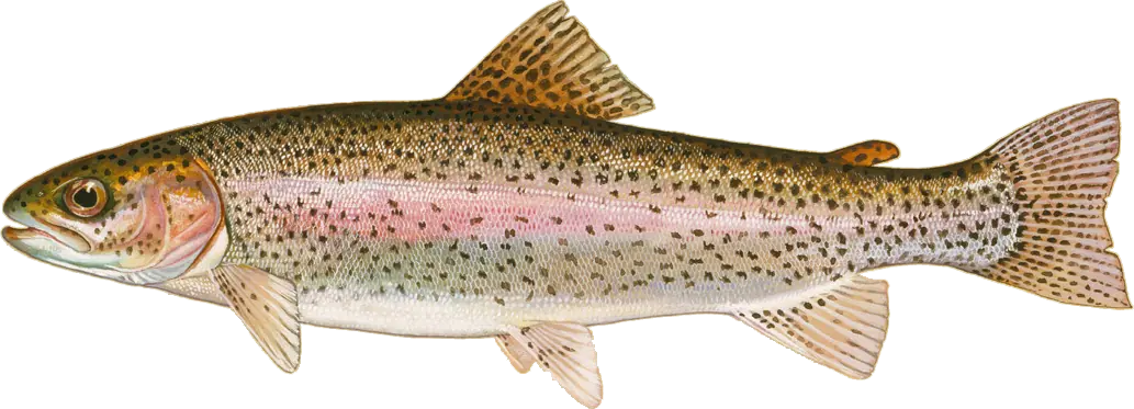
Region guide · MD
Middle Chesapeake Bay Maryland
The Bay Bridge and Kent Island piers, Kent Narrows and Eastern Bay, Thomas Point and the Annapolis rivers, Poplar Island, Tilghman Island and the Choptank River, plus Eastern Shore lakes such as Tuckahoe, Smithville and Wye Mills.
18 places in this region
Where to go
Places to fish
Fishing AreaBloody Point to Sharps Island LightThe steep eastern edge of the Bay's shipping channel, from Bloody Point at the southern tip of Kent Island down past Sha…Fishing AreaChesapeake Bay BridgeThe Chesapeake Bay Bridge, the twin four-mile spans between Sandy Point and Kent Island, is probably the most famous str…Fishing AreaKent NarrowsKent Narrows is the short, current-swept channel between Kent Island and the mainland at Grasonville, where US 50 crosse…Fishing AreaChesapeake Beach and Breezy PointThe Calvert County towns of North Beach and Chesapeake Beach, with Breezy Point just to the south, face the western edge…BayEastern BayEastern Bay is the broad arm of the Chesapeake between Kent Island and the Talbot County shore, fed by the Miles and Wye…Pier/Access PointKent Island Fishing Piers (Matapeake and Romancoke)Queen Anne's County's two public fishing piers on Kent Island give shore anglers some of the best access to open Bay wat…RiverLittle Choptank River and Taylors IslandThe Little Choptank is a short, broad Dorchester County river that opens onto the Bay just south of the Choptank, with T…RiverLower Choptank River (Cambridge to the Mouth)The lower Choptank, from Cambridge down to its wide mouth between Cook Point and Tilghman Island's Black Walnut Point, i…Fishing AreaPoplar IslandPoplar Island, a few miles northwest of Tilghman Island, is being rebuilt with dredged material into wetland and upland…RiverSevern River and Annapolis (Hacketts to Tolly Point)The Severn River flows past the Naval Academy and downtown Annapolis into the Bay, and the few miles of water around its…RiverSouth, West and Rhode RiversSouth of Annapolis, the South, West and Rhode rivers are three short, heavily used tidal rivers that open onto the Bay b…RiverWye River and Wye IslandThe Wye River and the Wye East River wrap around Wye Island, a quiet, largely undeveloped state natural resources manage…Fishing AreaTilghman Island and Black Walnut PointTilghman Island, at the end of MD 33 past St. Michaels, sits between the open Bay and the mouth of the Choptank, with Po…LakeSmithville LakeSmithville Lake is a 43-acre mill pond in the farm country of Caroline County near Federalsburg, just west of the Delawa…RiverTuckahoe Creek and Tuckahoe State ParkTuckahoe Creek, a major tributary of the Choptank, is a quiet, wooded Eastern Shore stream that runs through Tuckahoe St…LakeWye Mills LakeWye Mills Lake, a 50-acre mill pond beside MD 662 just south of US 50, is one of the larger lakes on the Eastern Shore.…Fishing AreaThomas PointThomas Point, the tip of the Annapolis Neck peninsula south of Annapolis, is marked offshore by the famous screwpile lig…RiverUpper Choptank River (Dover Bridge to Greensboro)Above Cambridge the Choptank narrows into a winding, tree-lined tidal river that runs past the town of Choptank and the…
From the water
Latest reports
No reports yet
No fishing reports have been published for this region yet.
Field guide
Species in this region
Plate 01Freshwater
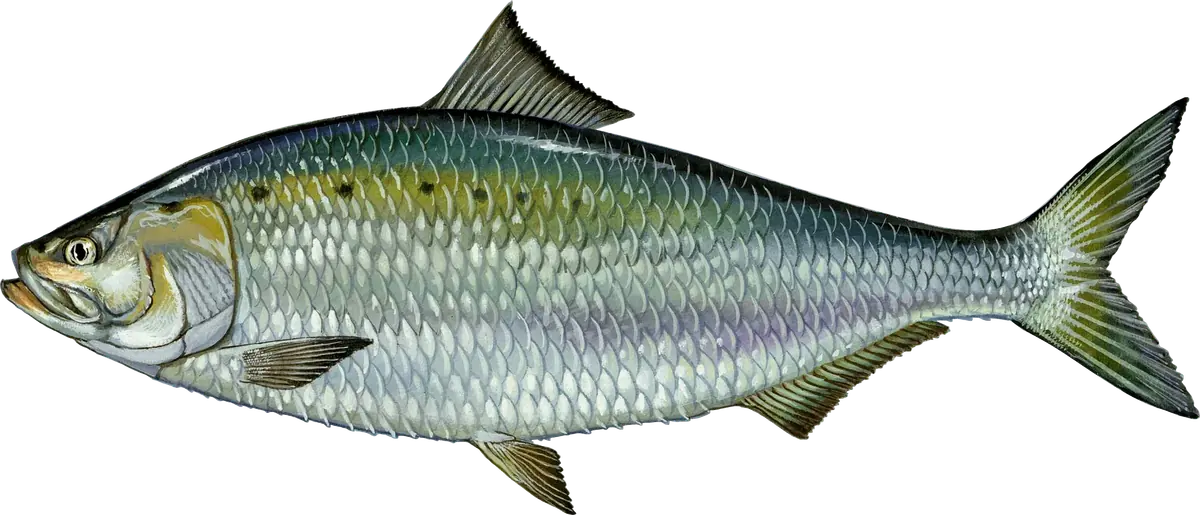
American Shad
Plate 02Saltwater
Atlantic Croaker
Plate 03Freshwater
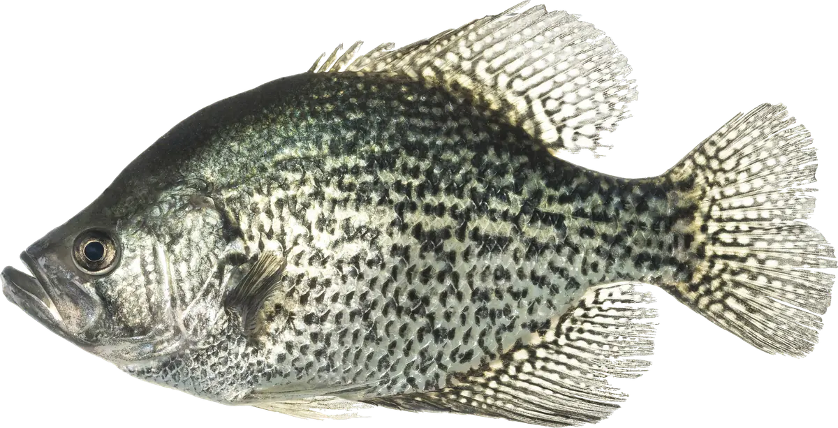
Black Crappie
Plate 04Saltwater
Black Drum
Plate 05Freshwater
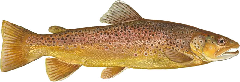
Brown Trout
Plate 06Freshwater
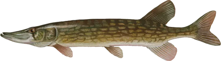
Chain Pickerel
Plate 07Freshwater
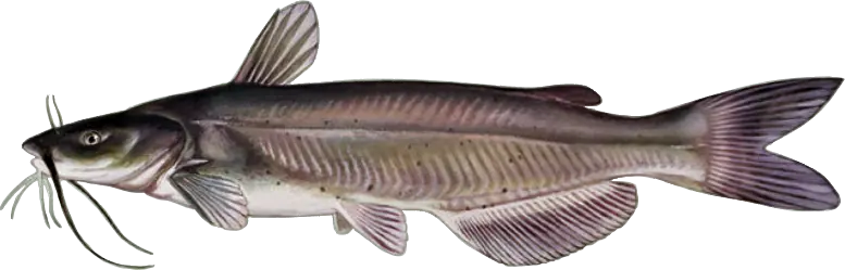
Channel Catfish
Plate 08Saltwater
Spot
Plate 09Freshwater
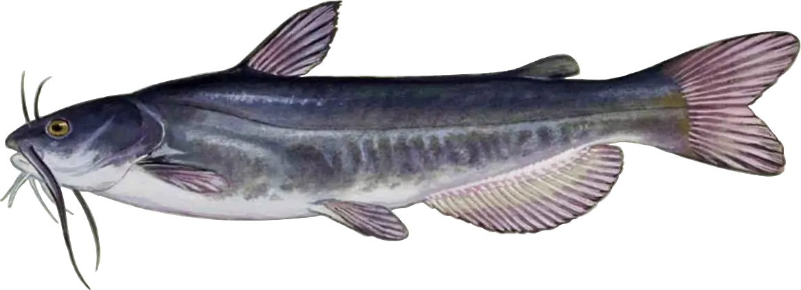
White Catfish
Plate 10Saltwater
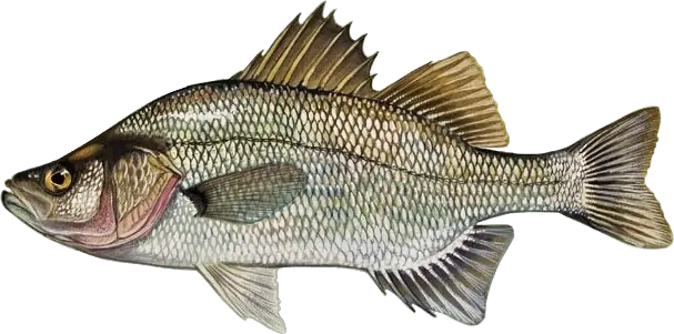
White Perch
Plate 11Freshwater
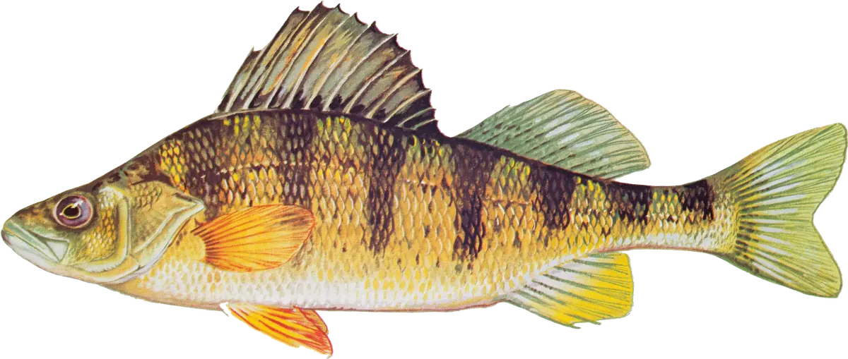
Yellow Perch
Plate 12Saltwater
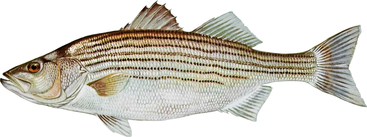
Striped Bass
Plate 13Saltwater
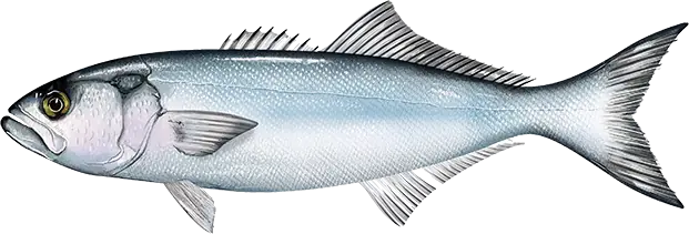
Bluefish
Plate 14Saltwater
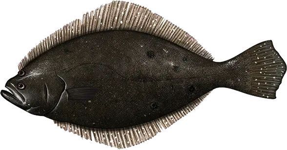
Fluke (Summer Flounder)
Plate 15Freshwater
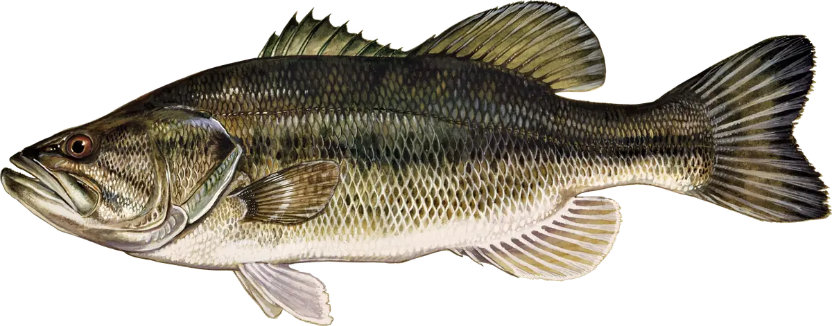
Largemouth Bass
Plate 16Freshwater