Position
38°53.5′N 76°8.9′W
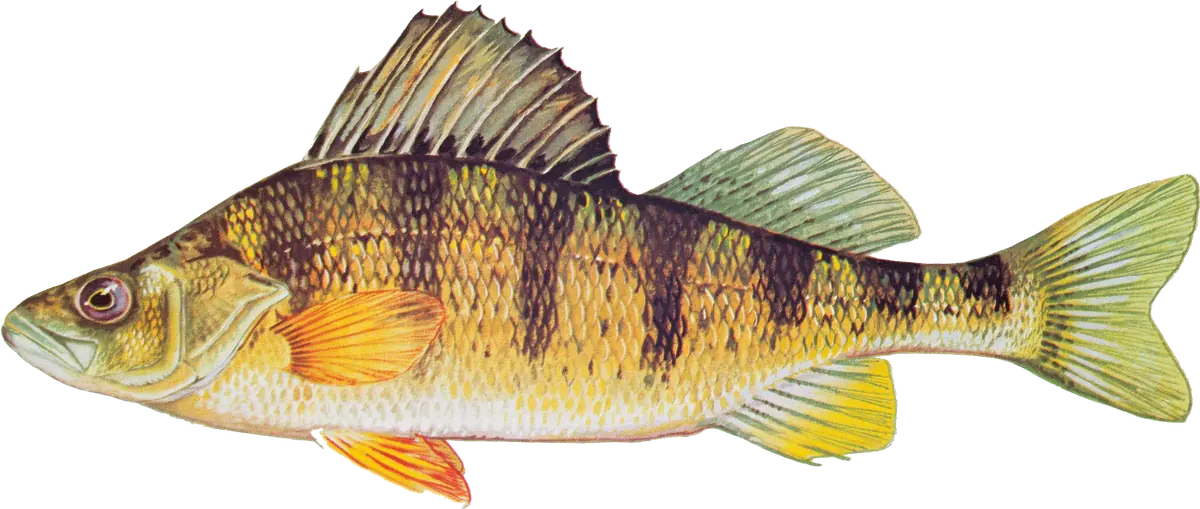
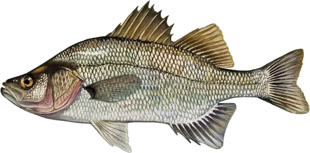
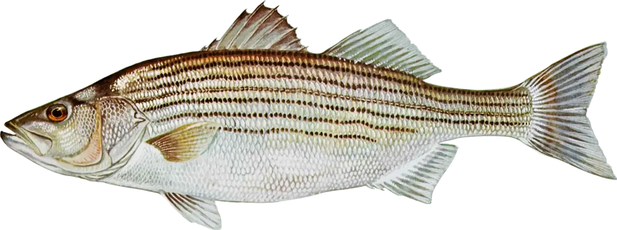
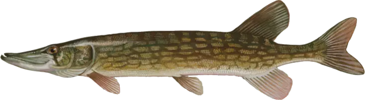
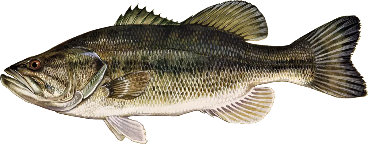
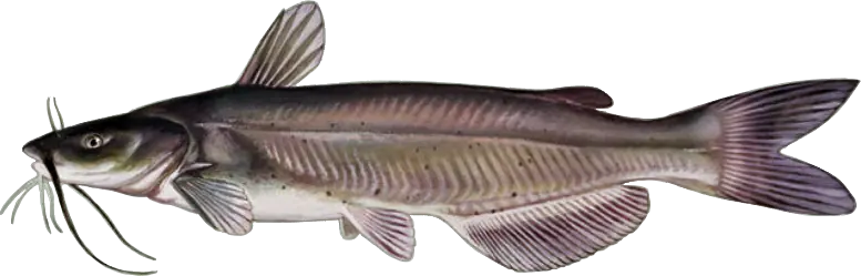
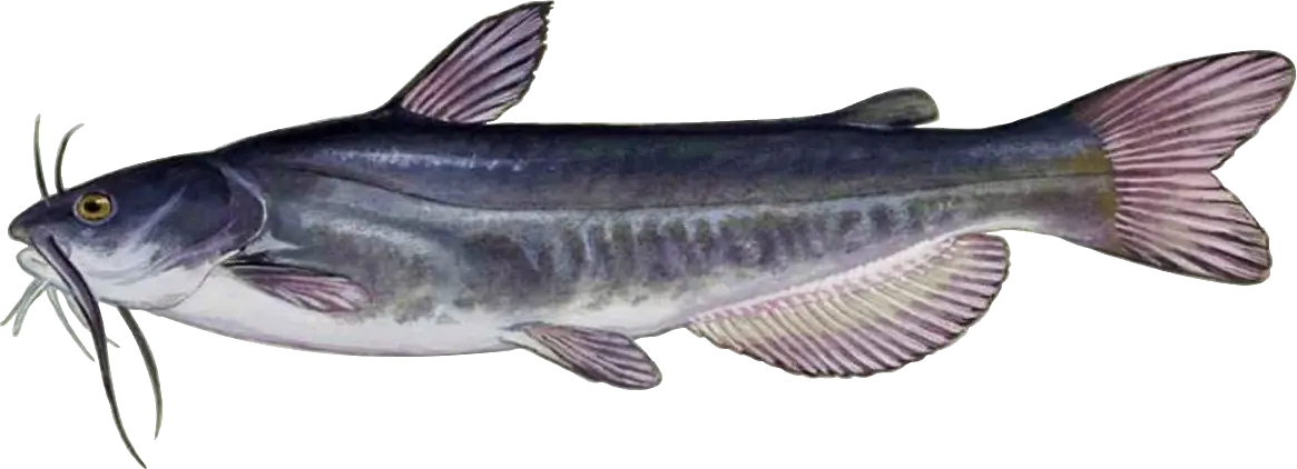
The Wye River and the Wye East River wrap around Wye Island, a quiet, largely undeveloped state natural resources management area on the Queen Anne's–Talbot county line that feeds into Eastern Bay. With about 30 miles of shoreline, dozens of coves and creeks, and a reputation for really big blue crabs, it's small-boat, kayak and fly water: yellow perch and pickerel in the cold months, white perch and striped bass from spring to fall, and bass and catfish in the creeks.
When to fish
- Winter: chain pickerel and yellow perch in the headwaters of the tidal creeks.
- Late winter and early spring: the yellow perch spawning run in the upper Wye; DNR cut the tidal yellow perch limit for 2026 and asks anglers to release full-bellied pre-spawn females and fish for post-spawners just downstream. White perch follow.
- Summer: stripers (from June 1) on sod banks, ledges and submerged rock piles; white perch on the rock piles; largemouth, catfish and panfish in the creeks. August is closed to striped bass fishing.
- Fall: stripers and white perch on the same structure.
Where to fish
- Skipton Creek and the east end of Wye Island, a short run from Wye Landing.
- Pickering, Gross and Lloyd creeks and Shaw Bay, on the south side of the island, and the Wye River and Wye Narrows on the north.
- Points with current breaks, tree falls and duck blinds.
- Submerged rock piles and sod banks: summer and fall stripers and white perch.
- The Wye Island shoreline: DNR allows shore fishing from the NRMA.
How to fish it
For yellow perch, DNR suggests live minnows, small shad darts tipped with a minnow, small spinner jigs or small jigs kept close to the bottom. For white perch, grass shrimp on a one-hook bottom rig or a small jig worked near structure, or small spinners and soft plastics cast to rocky points in the evening. Channel catfish take cut bait on the bottom. The Fish & Hunt Maryland fly guide recommends 5- to 8-weight rods with size 4 or 6 minnow patterns and long fluorocarbon leaders.
Getting there
From US 50, take MD 662 (Wye Mills Road) south past Wye Mills and turn onto Wye Landing Lane to reach Talbot County's Wye Landing on the Wye East River (ramp; a county permit is required for trailered boats, and county landings close from 11 p.m. to 4 a.m.). Skipton Creek has another Talbot ramp, and Queen Anne's County's Bryantown and Bennetts Point landings on the Wye River are soft launches (county permit for all vehicles). Wye Island NRMA, 632 Wye Island Road near Queenstown, is open sunrise to sunset and has a paddle launch at the Granary Creek Picnic Area; don't park along the road. You need a Maryland Chesapeake Bay and Coastal Sport Fishing License.
Right now
Current conditions
- Air
- 55°F
- Wind
- 5 mph
- From the S
- Sky
- Clear
Tides today · Kent Island Narrows, MD
Coastal forecast · ANZ540
Eastern Bay
- Tonight
- SE winds around 5 kt. Waves 1 ft or less.
- Wednesday
- S winds 5 to 10 kt. Waves 1 ft.
- Wednesday Night
- S winds 10 kt. Waves 1 ft.
Issued 757 PM EDT Tue Oct 6 2026
Source: National Weather Service, NOAA Tides & Currents
From the water
Latest reports
No reports yet
No fishing reports have been published for Wye River and Wye Island yet.
Field guide
What you can catch
Close by