Position
38°50.8′N 76°22.4′W
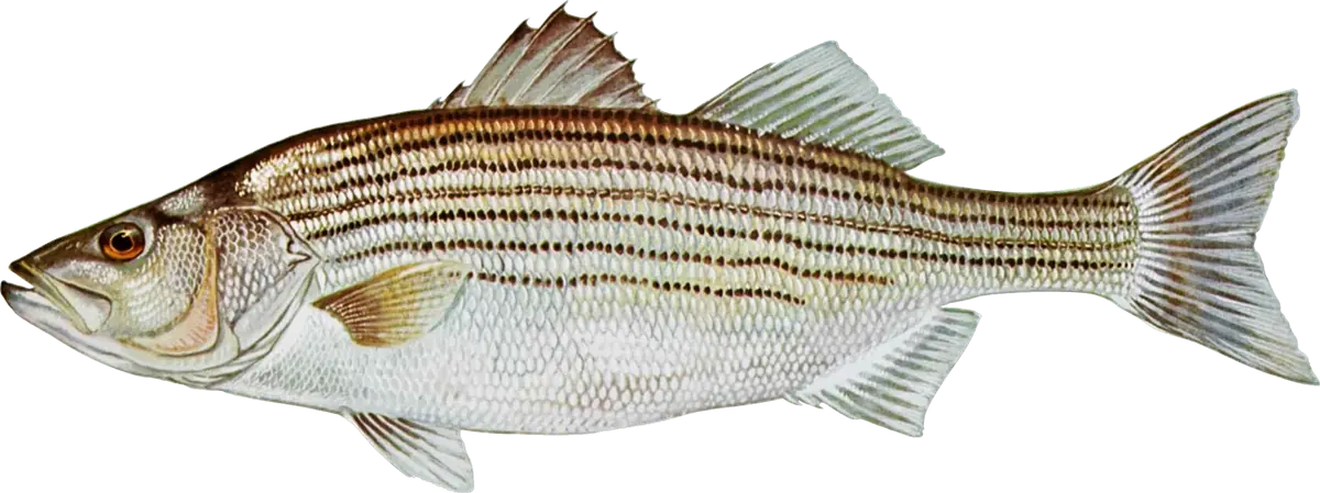
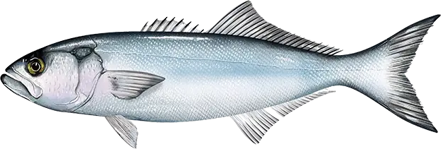
The steep eastern edge of the Bay's shipping channel, from Bloody Point at the southern tip of Kent Island down past Sharps Island Light to the mouth of the Choptank, is the middle Bay's classic striped bass trolling and live-lining ground. DNR's weekly report names this stretch, with its string of anglers' landmarks (Buoy 83, Stone Rock, the Clay Banks, Sharps Island Light, the False Channel and the CP Buoy), almost every week from May to December. In summer the same edge turns into bluefish and Spanish mackerel water.
When to fish
- May: trolling umbrella rigs and tandem bucktails along the edges once the main-Bay harvest season opens (early-season trolling rules limit lines and require barbless hooks).
- June and July: live-lining spot or jigging for stripers suspended on the 30-foot edges; bluefish show up and hit spot baits and spoons. In midsummer low oxygen keeps fish shallower than about 30 feet.
- August: striped bass are closed. Troll surge tube lures or chum with cut spot for bluefish, and troll small spoons, a little faster, for Spanish mackerel; don't use live eels during the closure.
- September and October: live spot and eels, jigging, and trolling umbrella rigs for a mix of stripers and bluefish.
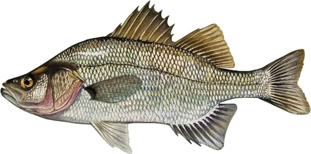
- November and December: stripers hold deep along the edge from Bloody Point to the CP Buoy as young menhaden leave the rivers; one of the best times to jig. From December 6 it's catch and release only, and white perch school in deep water near Bloody Point.
Where to fish
- The Kent Island edge from the Brick House Bar and Gum Thickets down to Bloody Point Light.
- South of Bloody Point past Buoy 83, Stone Rock and the Clay Banks.
- Sharps Island Light: a stripers-and-bluefish hub all summer.
- The False Channel at the mouth of the Choptank, and the CP Buoy off Taylors Island: the south end of the run.
How to fish it
- Find the fish first: stripers suspend along the channel edges, so cruise with the depth finder before setting up.
- Live-lining: spot in summer, eels in fall, on non-offset circle hooks.
- Jigging: soft plastics on 1- to 2-ounce heads with braided line to reach fish at 30 feet.
- Trolling: umbrella rigs and tandem-rigged bucktails with soft plastic trailers behind inline weights for stripers; surgical (surge) tube lures for bluefish; small spoons behind planers for Spanish mackerel.
- White perch in winter: bottom rigs with grass shrimp or bloodworm on schools you've marked.
Getting there
This is open-Bay boat water. The nearest public ramps are Queen Anne's County's Kent Narrows landings and Talbot County's Claiborne Landing (Eastern Bay) and Dogwood Harbor (Tilghman Island); each county requires a permit for trailered boats. You need a Maryland Chesapeake Bay and Coastal Sport Fishing License.
Right now
Current conditions
- Air
- 59°F
- Wind
- 5 mph
- From the S
- Water
- 70°F
- Sky
- Clear
Tides today · Kent Point Marina, MD
Coastal forecast · ANZ532
Chesapeake Bay from Sandy Point to North Beach
- Tonight
- S winds 5 kt. Waves less than 1 ft.
- Wednesday
- S winds 10 to 15 kt with gusts to 20 kt. Waves 1 to 2 ft.
- Wednesday Night
- S winds 10 to 15 kt with gusts to 20 kt. Waves 2 ft.
Issued 757 PM EDT Tue Oct 6 2026
Source: National Weather Service, NOAA Tides & Currents
From the water
Latest reports
No reports yet
No fishing reports have been published for Bloody Point to Sharps Island Light yet.
Field guide
What you can catch
Close by