Position
38°54.5′N 76°27.6′W
Thomas Point, the tip of the Annapolis Neck peninsula south of Annapolis, is marked offshore by the famous screwpile lighthouse and surrounded by some of the most reliable striped bass water on the western side of the middle Bay. Boats fish the lighthouse shoal and the channel edges off the point from spring into December, and Anne Arundel County's Thomas Point Park lets shore anglers cast into the Bay, the South River and Fishing Creek without a boat.
When to fish
- Spring: stripers in the shallows around Thomas Point Light, best in the morning and evening.
- June and July: live-lining spot and jigging along the channel edges; bluefish start showing up.
- August: striped bass are closed baywide, so boats troll or chum the channel edges for bluefish.
- Fall: casting jigs and paddletails or live-lining along the deeper ledges.
- Late fall into December: trolling the shipping channel edges from Thomas Point south to Breezy Point.
Where to fish
- The lighthouse shoal and rocks: shallow-water casting in spring and fall.
- The channel edges off the point: DNR has named the 30- to 35-foot edge as the sweet spot for suspended stripers in early summer and the 20-foot edge in late July.
- Thomas Point Park: shore fishing from the rocks, or wading the sandy South River side.
How to fish it
DNR describes live-lining spot, jigging soft plastics, and casting paddletails and topwater in the shallows. In August, when striped bass are closed, bluefish take surge tube lures and spoons trolled behind planers and inline weights, or cut spot and menhaden drifted in a chum slick. Later in the year anglers troll tandem-rigged bucktails and umbrella rigs along the channel edges. Use non-offset circle hooks when chumming, live-lining or bait fishing for stripers.
Getting there
Thomas Point Park is at 3890 Thomas Point Road in Annapolis (from Route 665, follow Forest Drive, Bay Ridge Road and Thomas Point Road to the end). There's limited parking, no ramp, and a kayak launch on the south-side beach; Anne Arundel County requires a monthly vehicle permit except from November through March. Boaters launch from the Annapolis area or Sandy Point State Park. You need a Maryland Chesapeake Bay and Coastal Sport Fishing License.
Right now
Current conditions
- Air
- 59°F
- Wind
- 3 mph
- From the S
- Water
- 70°F
- Sky
- Clear
Tides today · Thomas Point Shoal Light, MD
Coastal forecast · ANZ532
Chesapeake Bay from Sandy Point to North Beach
- Tonight
- S winds 5 kt. Waves less than 1 ft.
- Wednesday
- S winds 10 to 15 kt with gusts to 20 kt. Waves 1 to 2 ft.
- Wednesday Night
- S winds 10 to 15 kt with gusts to 20 kt. Waves 2 ft.
Issued 757 PM EDT Tue Oct 6 2026
Source: National Weather Service, NOAA Tides & Currents
From the water
Latest reports
No reports yet
No fishing reports have been published for Thomas Point yet.
Field guide
What you can catch
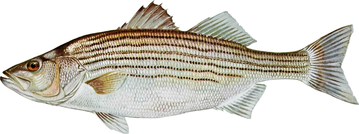
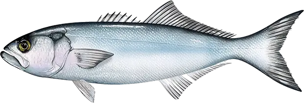
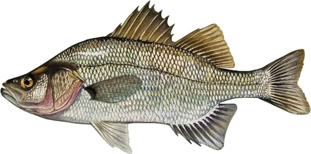
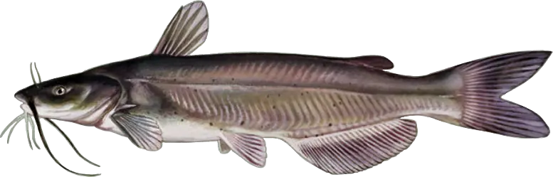
Close by