Fishing Area · Saltwater
Solomons and the Lower Patuxent (Route 4 Bridge to Cedar Point)
Position
38°19.8′N 76°28.1′W
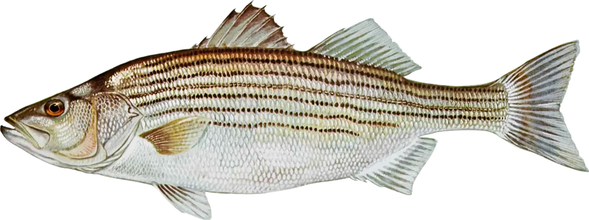
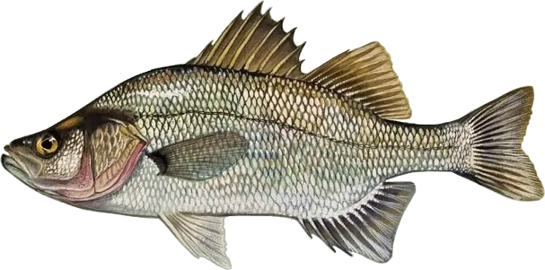
Solomons sits at the mouth of the Patuxent, and the lower river beside it is one of the most consistent striped bass areas in DNR's weekly reports. DNR's weekly report names two spots over and over: the deep channel below the Route 4 (Governor Thomas Johnson) bridge, where stripers hold on the edges from late spring through December and big white perch school in winter, and the Cedar Point rocks at the south side of the river mouth, a light-tackle favorite. Summer adds excellent spot, croaker and kingfish fishing at the mouth of the river.
When to fish
- March through mid-May: the Patuxent is a striped bass spawning river and is closed to striped bass fishing; the lower river below Point Patience reopens in mid-May.
- Late May and June: stripers along the 30-foot channel edges below the bridge and near Solomons and Drum Point; casters work the Cedar Point rocks at dawn and dusk.
- Summer: live-lining spot or jigging the edges; spot, croaker, white perch and kingfish at the river mouth. August is closed to striped bass fishing.
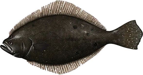
- September and October: stripers near the bridge with speckled trout and slot red drum mixed in; a few flounder at the mouth; white perch around the bridge piers.
- November and December: some of the best jigging of the year below the bridge and out to Cedar Point, with trolling on the deep edges; big white perch school in the 50-foot hole below the bridge.
Where to fish
- The Route 4 bridge piers and the deep channel below the bridge.
- The channel edges near Solomons, Drum Point and Town Point.
- Broomes Island, Helens Bar and Point Patience: steep edges upriver for late-fall stripers.
- The Cedar Point rocks and the ledge running east toward the Bay channel: look for current rips.
- The mouth of the river: hard bottom and oyster bars for spot, croaker and white perch.
- St. Leonard Creek and the other tidal creeks: fly and light-tackle water.
How to fish it
- Stripers: jig soft plastics (or metal jigs in late fall) on the channel edges and bridge piers once you've marked fish; live-line spot in summer; troll tandem-rigged bucktails or umbrella rigs deep in late fall. At Cedar Point, cast poppers, crankbaits and paddletails in low light.
- Spot, croaker and kingfish: bloodworm or artificial bloodworm on a bottom rig; peeler crab for croaker.
- White perch: peeler crab, grass shrimp or bloodworm on bottom rigs by the bridge piers; in winter, dropper rigs with shad darts or small jigs tipped with grass shrimp or bloodworm in the deep holes.
- Hooks: non-offset circle hooks with bait for stripers.
Getting there
Calvert County's Solomons boat ramp and fishing pier, at 14195 S. Solomons Island Road beside the bridge, are open 24 hours; there's a launch fee for motorized boats (collected when the ramp is staffed) but none for kayaks and canoes carried to the water. Across the river, St. Mary's County's Myrtle Point Park has beach fishing and a paddle launch. The shore around Cedar Point is Naval Air Station Patuxent River property: boats and people in the water must stay at least 75 yards off Navy shorelines and piers (except in the gut off Point Patience). You need a Maryland Chesapeake Bay and Coastal Sport Fishing License.
Right now
Current conditions
- Air
- 56°F
- Wind
- 2 mph
- From the E
- Water
- 71°F
- Sky
- Clear
Tides today · Solomons Island, MD
Coastal forecast · ANZ542
Patuxent River to Broomes Island MD
- Tonight
- SE winds around 5 kt. Waves 1 ft or less.
- Wednesday
- S winds 5 to 10 kt. Waves 1 ft.
- Wednesday Night
- S winds 5 to 10 kt. Waves 1 ft.
Issued 757 PM EDT Tue Oct 6 2026
Source: National Weather Service, NOAA Tides & Currents
From the water
Latest reports
No reports yet
No fishing reports have been published for Solomons and the Lower Patuxent (Route 4 Bridge to Cedar Point) yet.
Field guide
What you can catch
Close by