Position
41°30.8′N 71°5.3′W
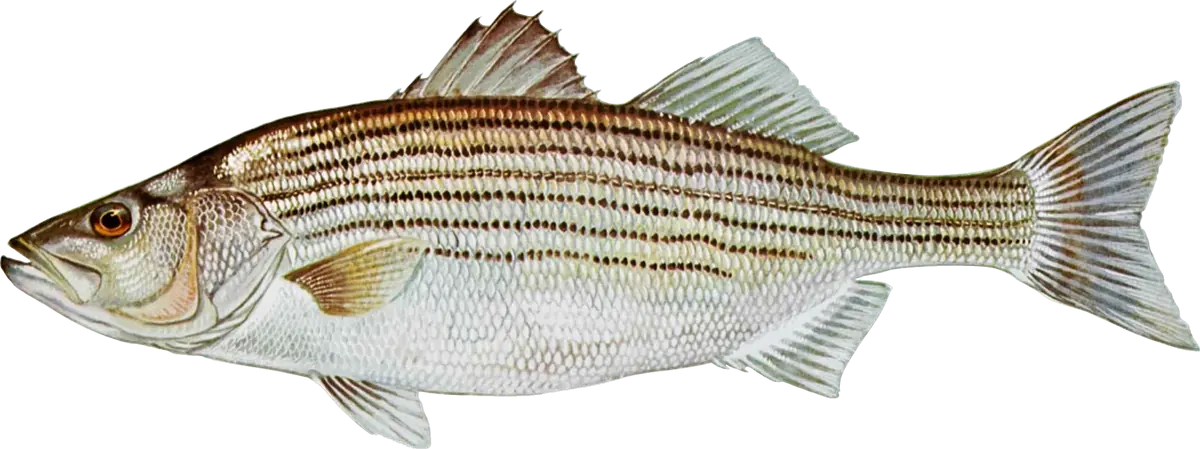
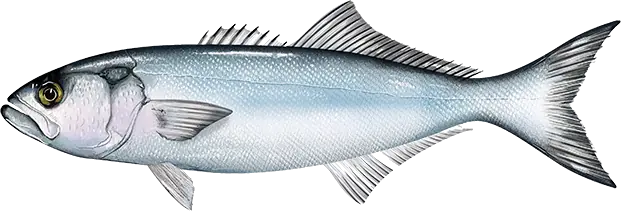
The Westport River is a big, protected estuary at the western end of Buzzards Bay, where the West and East branches meet at Westport Point and pour out past the west end of Horseneck Beach. The Fisherman's writers describe striped bass and bluefish in the river all season, a spring run of big bass chasing alewives, and good fall tautog fishing off the river mouth and Gooseberry Island.
When to fish
- Spring: big stripers push into the river behind the alewife (herring) run.
- All season: bass and blues in the river and along Horseneck Beach.
- Late September to November: tautog. They hold around the Route 88 bridge and the river's rocks until about the third week of October, while boats find them in shallow water off Gooseberry from late September. As the water cools they move deeper, onto rock piles in 30 feet or more by November and several miles offshore by late fall.
Where to fish
- Horseneck Beach and Cherry Point: the river's flow carves bars and holes along the beach. Walk to the river outflow at Cherry Point, where the current builds at full tide. The last stretch of the beach is private, so stay on the state reservation.
- Acoaxet Rocks: across the inlet, better in the off season; parking is restricted locally.
- Up the river: The Fisherman's writer gives the East Branch a slight edge for its eelgrass and larger, fresher bay. Kayakers can explore about four miles up to Hix Bridge, and boaters can wade the flats on low tides with fly or light tackle.
- Gooseberry Island: a rugged, remote point within the state reservation, about two miles east of the river mouth.
How to fish it
In the river, mid-river flow slows at low tide, which The Fisherman calls the best time from boat or shore. For fall tautog, anchor right on top of a rocky spot and give it about 20 minutes before moving. At Gooseberry, the writer fishes the point only on the falling tide: a bowl behind the outer rocks fills quickly on the flood and can cut you off.
Getting there
Horseneck Beach State Reservation is at the end of Route 88 south from I-195. It charges a parking fee in season, lists beach hours of sunrise to sunset, keeps the dunes closed, and has a boat ramp; the Gooseberry Island launch is off West Shore Road. A paved launch is on the river just past the Route 88 bridge, but the water at the river mouth is rough and fast, and a reef a quarter mile west of the mouth breaks well offshore in a south swell. At Gooseberry, wear light-colored clothes and repellent for ticks, carry a wading staff and go with a friend. You need a Massachusetts saltwater fishing permit; tautog seasons and limits change through the year, and striped bass have a slot limit and a circle hook rule for bait.
Right now
Current conditions
- Air
- 53°F
- Wind
- 9 mph
- From the W
- Water
- 64°F
- Sky
- Clear
Tides today · Westport Harbor, MA
Coastal forecast · ANZ235
Rhode Island Sound
- Tonight
- NW winds 10 to 15 kt with gusts up to 20 kt, diminishing to 5 to 10 kt after midnight. Seas around 2 ft. Wave Detail: W 2 ft at 4 seconds and SE 1 foot at 8 seconds.
- Wednesday
- SW winds 5 to 10 kt, increasing to 10 to 15 kt with gusts up to 25 kt in the afternoon. Seas 1 foot or less, then 2 to 3 ft in the afternoon. Wave Detail: W 1 foot at 4 seconds and SE 1 foot at 8 seconds, becoming SW 2 ft at 4 seconds and SE 1 foot at 8 seconds.
- Wednesday Night
- SW winds around 15 kt with gusts up to 25 kt. Seas around 3 ft. Wave Detail: SW 3 ft at 4 seconds and SE 1 foot at 8 seconds.
Issued 703 PM EDT Tue Oct 6 2026
Source: National Weather Service, NOAA Tides & Currents
From the water
Latest reports
No reports yet
No fishing reports have been published for Westport River and Horseneck Beach yet.
Field guide
What you can catch
Close by